Ever seen a pink lake before? Neither had we…
After completing an unbelievable run through the Outback, we found ourselves staring down the barrel of interminable hours on the bitumen for the run back home to Sydney from Adelaide. For those who have done it before, you’ll know it’s about as exciting as watching two obnoxious drunk guys debate politics at the bar.
For images, videos and the full Unsealed 4X4 experience, read this in our online magazine.
Coming off a spectacular desert crossing, after a day behind the wheel on the blacktop, we were having serious withdrawals.
After looking at the Hema we thought the Murray-Sunset National Park may just be the cure. The Park sits in the corner of north-west Victoria, between the Sturt and Mallee Highways, and is considered to be one of the very few semi-arid regions that remains untouched. Better known for being part of the Border Track, running along the SA-Vic border, the Murray-Sunset has lesser-known tracks and camping areas on the eastern side which are great places to stop overnight (or even make a week of it).
Being over 630,000 hectares, we quickly realised that there was no way we were going to see the whole thing. So we decided to focus our drive around the biggest attraction – the Pink Lakes. Ever seen a pink lake before? Neither had we. The unique colouring is caused by red algae in the crystal-clear water and it certainly is a sight to behold.
We entered the Park from the Mallee Highway to the south and headed north along Pink Lakes Road. Lake Hardy is the first of these eye-catching pink oases that you come across. A quick stop for a cuppa and a sandwich can be enjoyed right at the water’s edge, or a short walk around the bank is also possible on the defined track.
Keep an eye out for the birdlife if that’s your thing – the Park is home to two unique bird species… the Mallee Ringnecks and the Mallee Emu-Wrens. The brightly coloured Ringnecks are much easier to spot than the Emu-Wrens, which we discovered are apparently the ninjas of the avian world.
Continuing on, there are two campgrounds nearby with large, well maintained sites boasting amenities and fireplaces; some on the edge of Lake Crosbie. Nearby is the Salt Museum that displays some of the equipment used to mine the salt from these lakes – salt mining here has a long history dating back to 1916.
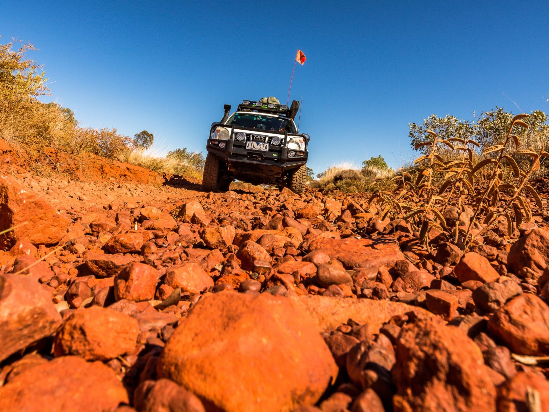
After exploring the campsites and the Pink Lakes we headed east towards Mt Crozier Track. We were shortly greeted by the sign we all love: ‘4X4 Only’. The track quickly turned from hard-packed dirt to soft sand. Luckily there had been recent rain and the roads were quite easy to drive. It’s important to check the track conditions with Parks Victoria as the area is quite flat and could become dangerous after big rains.
We meandered our way further north towards the lookout at Mt Crozier. Funnily enough (being so far south), we could have sworn we were on an inland track on Fraser Island. The dense bush, sandy tracks and abundance of wildlife were giving us welcome flashbacks. Arriving at Mt Crozier we found another tidy campground with amenities at the base. We jumped out of the car to stretch our legs with a quick walk up to the summit. Yep, it’s a bit of a walk, but totally worth it for the view alone – it really gives you a slight idea of just how big this place actually is.
Back in the Amarok we continued along Underbool Track, before making the turn on to Pheeny’s Track leading to the exit of the Park. It’s at this point the track also heads west, through the middle of the Park, towards the Victorian border. This area becomes rather remote and it’s important to remember to carry extra water and fuel if you’re planning a trip out this way.
Cresting dune after dune, we continued towards the eastern end of the Park where the scenery changed dramatically. The bush opened up into a grazing property and we found ourselves at the edge of the Park and the end of our welcome detour… but not before stopping off at one last lake for a leisurely meal next to yet another amazingly picturesque location. Beats the highway any day, I reckon.
SALT MINING
Beginning in 1916, salt was mined from these lakes to aid in meeting the demand for salt as a result of World War 1. A local, Ebenezer Jones, saw the opportunity and began mining with a pick and shovel. In 1922 the Afghan Cameleers and their camels were brought in to assist in carting the salt to the railway. In 1935 the camels were replaced by trucks and mining continued at full pace. This mining brought population to the area. A school and a small town were built to support the industry. Salt mining ended in 1979 when the area was declared a National Park. In 1991 it was combined with the Murray-Sunset National Park – creating the second biggest National Park in Victoria.
Destination Details:
Nearest town: Ouyen, 60km east.
When to go: The cooler months – it gets very hot during summer and travel isn’t recommended.
Accommodation: Camping with amenities, or bush camping.
Difficulty: Medium – due to the remoteness, good ground clearance required.
Contact: Parks Victoria www.parkweb.vic.gov.au or 131 963. Check conditions before departing.
Things to do: There are a number of walks ranging from short loops to proper hiking treks; pushbike riding is also possible on the two-wheel drive roads.


