Take a detour and see it from a different perspective
Words and Images by Glenn Marshall
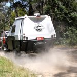
Why not take the diversion of a lifetime, venture off the Plenty Highway, and head for the hill – Batton Hill. Only eighty clicks off the main drag and you’ll love the bush camping, a drive along Hay River Track and the million-star views. Once an extreme driving challenge, the Plenty Highway is now a section of the Outback Way that runs from Cairns to Perth and so the track is sadly but surely being improved with the intention of it being bitumen all the way. I departed Boulia and the beautiful Burke River, named by William O’Hara himself as he helped fill their water pouches on their ill-fated trip. Boulia is also home to the Min Min lights, fuel, supplies and a cash-only caravan park.
CLICK HERE TO READ THIS ARTICLE IN OUR FREE DIGITAL MAGAZINE
I passed a number of wedge-tailed eagles feeding on roadkill, struggling to get into the air as I approach, bellies full from gorging. Sometimes they don’t make it and become roadkill themselves. After 90km, the bitumen ends for a short stretch of bulldust and the landscape changes from Mitchell grass and mulga to desert sands, ghost gums and gidgee then jump ups, mesas and gibbers.
The Georgina River showed evidence of the recent floods with piles of twisted tree branches, leaves and mud lying about. The remaining 130km to the Northern Territory border was a mix of bulldust, corrugations, bitumen, road works, and the challenge of not damaging a tyre from the large stones all over the track.

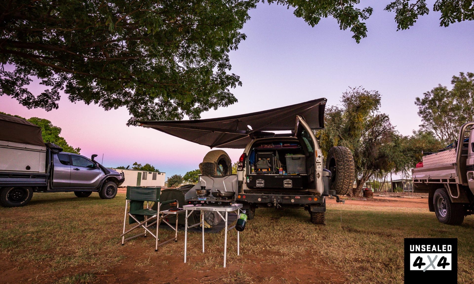
Pulling into Tobermorey, I was enticed by the green grass in the campground and decided to call it an early day. I know how many nights I have left to sleep in dusty camps, so why not enjoy some green grass for a change. Tobermorey is a working cattle station with tourism on the side. You can organise a helicopter flight when they’re not mustering (June to September), and poddy calves will graze from afternoon until morning. The galahs love roosting in the gum trees at night, so ear plugs are a good idea if you’re a light sleeper like me. At the end of the day, it is a good spot to rest in the middle of nowhere and gets busy as the troops roll in late each afternoon.
The Finke Desert Race is on the coming weekend, so there is a multitude of people heading to Alice Springs. A lot of people had just come off the Hay River Track, grinning while they described their journeys to me. “Colours” was the word used most often; burnt orange dunes like you’ve never seen before – maybe I will on my short drive on the track. The Plenty Highway is always a track that offers up a lot. Bulldust and killer corrugations are the norm, but I was surprised that these conditions were few and far between in the stint to Jervois. This early in the morning I enjoy watching the birds ‘surf’ the forward air pressure from the Prado as I’m driving.
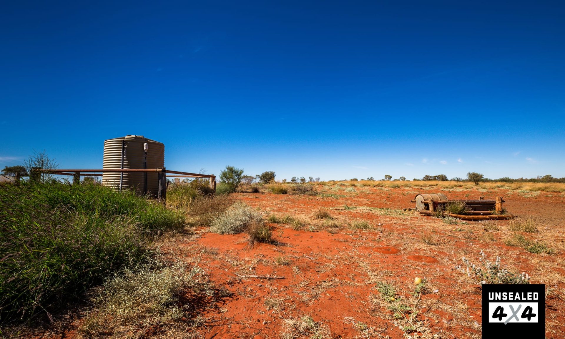
Topping up the fuel tanks at Jervois at a smidge under $2 per litre, I then crossed the Marshall River before turning onto the signed track towards Batton Hill Camp. The track is a short line that follows a fence line and is severely corrugated, so dropping air out of your tyre will help the ride a little. Batton Hill Camp is part of the Atnetye Aboriginal Land Trust, so when booking permits for the Hay River Track and camping, you will also require a permit from the Central Land Council to access Batton Hill Camp. The campsite itself has flushing drop toilets and donkey showers (that create a seriously hot shower!), and a communal area that contains a fire, BBQ, wood oven and sink with running bore water. I can attest to the quality of water for drinking as being excellent.

Batton Hill was set up by the late Lindsay Bookie, an eastern Arrernte man respected for his knowledge of culture and laws of the Arrernte people. Lindsay was approached by Jol Flemming, and together they blazed a track along the edge of the Hay River, linking Poeppel Corner and Jervois on the Plenty Highway, and creating one of the best desert tracks in the Simpson Desert.
Rob and Donna arrived; they too had camped at Tobermorey the previous night. We enjoyed a good evening by a warming fire. Up early the next morning, I headed south along the Hay River Track, Rob and Donna not far behind. They were driving the entire Hay River Track, while I was only venturing down 80km to check out an important site.
The drive was corrugated in a few places and once in dune country, a few tight corners came up. The countryside was beautiful, the Hay River not far away with ghost gums showing where the river ran. One burnt orange dune blew my mind as it appeared through the trees; it was difficult to capture its beauty in a shot. Not far away was one of the designated camping areas on the track and a further kilometre away was Dingo Well.
Dingo Well is part of a biodiversity project on the Hay River and is a collaboration between traditional owners and ecologists trying to lure dingoes back into their old environment. Before Europeans arrived, the Aboriginals who lived along the Hay River would maintain wells and soaks, providing water for the dingoes. When the Aboriginal people left the area, so did the dingo, which effected the ecosystem.
In 2010, the well was established as part of a large-scale scientific study. There was evidence of canine activity with some footprints in the area, but I wondered if allowing humans to access the site may in fact deter dingoes from approaching the well. I must add that it cost me $110 to travel 80km down the Hay River Track and that is a big expense, but the experience was worth it. Camping at Batton Hill was also $20 per person per night and if you’re lucky, the traditional owners may take you on a cultural tour at $50 per person.
The drive back to the Plenty Highway was smoother as I reduced my tyre pressures by a few more psi. I was again surprised by the good condition of the road and shocked to hit bitumen at Atitjere. I turned into the community and raided the store for a couple of chocolate bars and a nice hot pie. I certainly felt welcome and the community is much more tourism-oriented than in the past. The store was well-stocked, fuel is available and you can purchase local art for a better rate than in Alice Springs.
The bitumen has removed the most notorious section of corrugations that used to exist from Atitjere to just before Gemtree Caravan Park. Roadworks indicate that within six months, the final stretch will be blacktop, meaning the final 147km of the Plenty Highway will be bitumen, some of it dual-lane. I pulled into Gemtree with one thing on my mind: State of Origin. Thankfully it was being shown on the big screen after a $20 camp oven dinner put on by Aaron, Kate and crew. The meal was fantastic, the result of the game not so much.
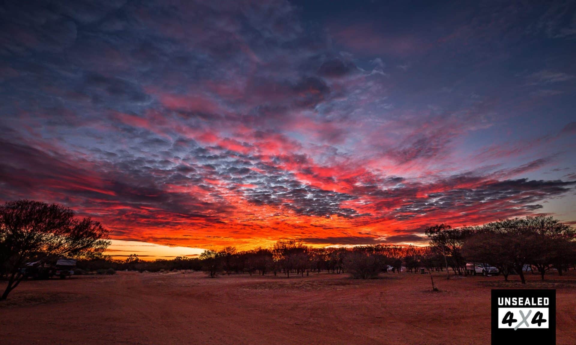
I awoke to an amazing orange sky as some clouds graced the sunrise, spreading the colours across the horizon. As I completed the final drive to the Stuart Highway, I was saddened by the thought of the inevitable end of a once formidable outback track. However, the benefit of more traffic will open up the communities that lie along it to tourism and allow us to get a better look at life on the Plenty Highway.
DESTINATION DETAILS
WHERE: Western Queensland and the NT. The Donohue/Plenty is 736km from Boulia to the Stuart Highway. The track into Batton Hill is 80km and the drive to the Dingo Well is 60km.
SUPPLIES & FACILITIES: Fuel is available at Boulia, Tobermorey, Jervois, Atitjere and Gemtree. Supplies are available at Boulia and Atitjere, limited at Tobermorey and Gemtree.
CAMPING: Boulia Caravan Park $15pp no power; Tobermorey $26 per night no power; Jervois $15 per night no power; Batton Hill $20pp per night no power; Gemtree $35 per night powered.
BEST TIME: Milder months from May to September.
TRIP STANDARD: The Donohue and Plenty Highways are continually being improved, to the point where Nan and Pop will be towing their teardrop camper behind their Golf within a few of years. The track into Batton Hill and Hay River is high clearance 4WD only and you will need to be set-up for remote travel.