Named Queensland’s least tourist-friendly island, Moreton has way more to offer than you think…
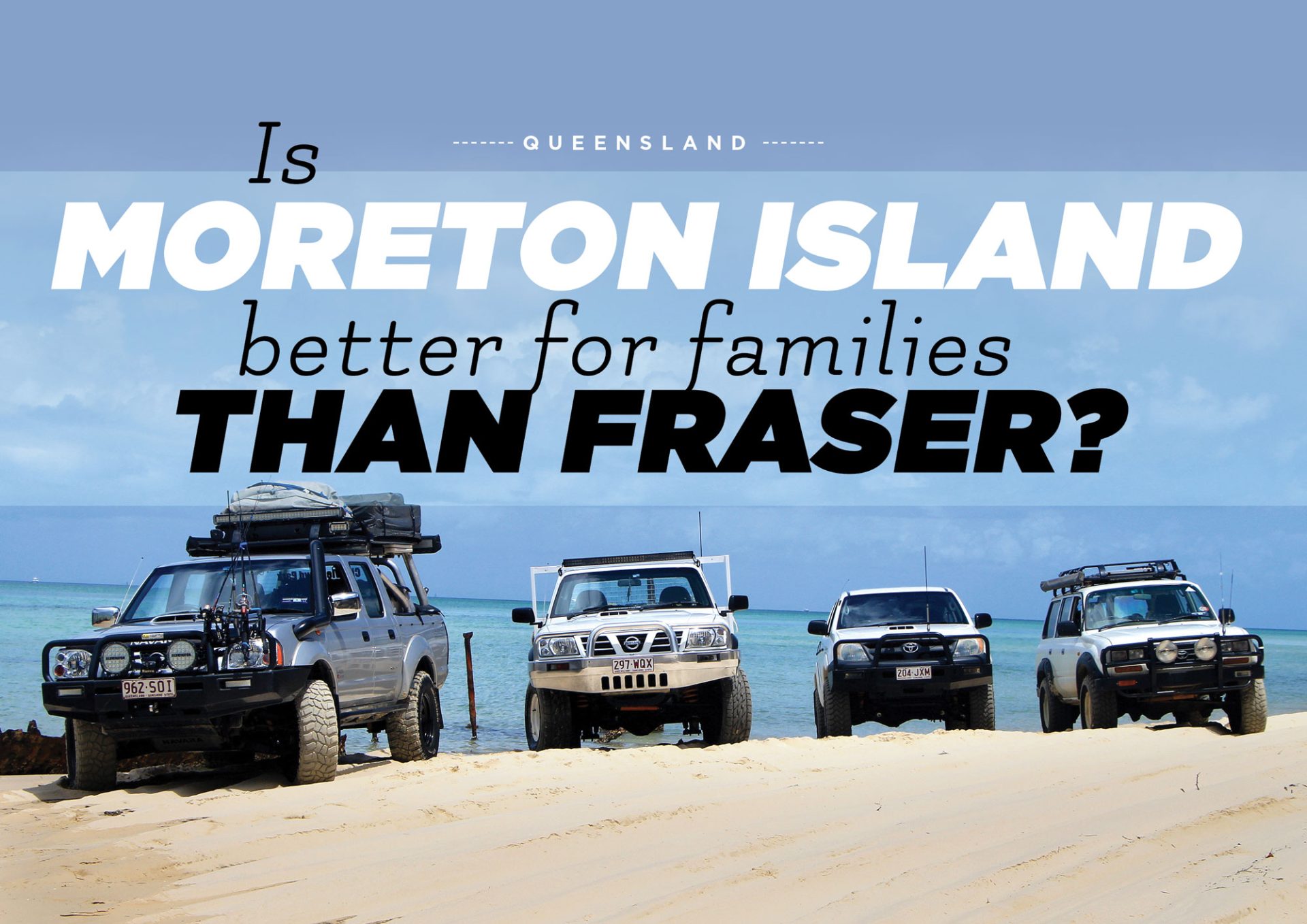
If you’ve ever been to Fraser Island, you’re going to love Moreton. It really does have the same feel but it’s only a quarter of the size, and a lot more friendly to bringing the kids. The best part about it is that of the 420km of island on offer to you, every bit of it can be accessed by 4WD. It’s not often you get drive around an entire island where everywhere you look there’s something new to see. Jump on the MICAT Ferry from the Port of Brisbane and let down your tyre pressures because the ferry drops you straight onto the beach. You don’t want to be ‘that’ person who holds everyone up in the convoy because you thought ‘she’ll be right’ and you end up buried to your floorpan watching everyone drive around you while you’re unhooking the MaxTrax.
The Tangalooma Resort is just a five-minute drive south on the beach – here is where you can pick up supplies and arrange some activities such as quad biking, parasailing, sand boarding, scuba diving and more, through Tanga Tours located in the centre of the resort. Bookings are essential so it’s wise to plan your trip around the activities. The island only allows 1,400 campers at any one time. This prevents it getting over-populated and it’s great not having to pull over for oncoming traffic on a one-lane beach track. You really feel like you are there by yourself and camping with the family is a lot easier and safer. Popping out from Middle Track onto the beach, the aqua water slaps you in the face – it’s nothing like you’ve ever seen before. Add that to the white sandy beach and you’ve pretty well got paradise in the palm of your hand.
Looking north you can see the lighthouse, which kind of looks like you’re driving towards Indian Head on Fraser. Follow the beach all the way up and you will notice an exit off the sand which will take you to an intersection. Turning right will get you to the car park of the information centre at the base of the lighthouse which is well worth checking out. Back on the track, heading west, you will pass access to the North Point camping area. This is a nice clean site with toilets; but no fires are allowed. If you want to have fires – where they are permitted – you must bring your own wood (cutting wood on Moreton Island is prohibited). Work out how many nights you are staying and share the firewood load between a couple of vehicles.
Yellow Patch is a camping area near North Point that allows fires. Secluded and set back off the beach, these campsites can be enjoyed without seeing other campers right beside you. Site number 14 is accessible but you must drive through water to get into it… there are four waterholes to choose from and walking them is advisable as they can be quite deep. If you’re up for sightseeing, head to the Five Hills Lookout. It takes about 10 minutes to walk to the top and enjoy a pretty good view to the north-west with the lighthouse in the distance. The inland tracks are unpredictable and certain spots are quite soft and chopped up. This is where having the right air pressures is vital. Once the tracks have been chewed up, if you hit them with too much speed you can damage your suspension.
Past Tangalooma and heading south, the tracks are completely tide-dependent and absolutely not passable until at least two to three hours after high tide. The beach is not very wide, and there are lots of dead trees that you will need to weave your way around. This beach leads you towards Kooringal, but before you get there you will drive past Toulkerie –the place where you can buy the best oysters you will ever taste! Make sure you drop in and grab yourself a couple of dozen; you won’t be disappointed. Chuck the oysters in the fridge and keep on heading south through Kooringal and onto Reeders Point. Pitch up with a view to North Stradbroke Island. Put your feet in the water and wet a line in the hopes of catching a feed.
Head back up the beach, north towards the lighthouse. About halfway up Middle Road comes into view again. Hop on the track and head west. Not far along the track you will see signs to Mount Tempest. Hang a right and drive up to the entrance of the walking trail. This is about a 2km walk up the hill, with a series of steps and inclines, to reach the summit. Take water with you and it’s best to do this hike early morning or late evening. At 285m above sea level it is considered the highest sand dune in the world. Enjoy 360º breathtaking views of the island. You will even see the coastline near Brisbane, and the Sunshine Coast.
After you’ve made it back down, keep heading towards the western beach and make your way to the wrecks at Tangalooma. What better way to cool off than snorkelling around these beauties and witnessing an abundance of fish living in a wonderland just under the surface? This place truly is amazing. It really is heaven on four wheels and a fantastic place to bring the entire family without fear of the Fraser bogans and backpackers. It may be the least tourist-friendly island… but for us locals it’s spot on.
Where:
Moreton Island, located 75 minutes offshore; only accessible by 4WD. To reach the island take the MICAT Ferry which departs from the Port of Brisbane.
Camping:
$5.95 per person per night.
Moreton Island has plenty of different campsites available. Some offer all amenities while others do not have any facilities. The campsites on the western side are more sheltered and offer calm waters and sunsets to die for. The campsites on the eastern side are set back up in the dunes to protect you from the winds, but the beach is pristine and it is here that you will find the best fishing spots.
Facilities:
There are toilets and showers located at most of the main campsites; clearly marked by signs at the entrances.
Trip Standard:
It is suitable for vehicles with the basic modifications. The tracks can be soft and boggy but after rain they become a lot firmer and easier to drive on. Keep an eye on the tides as the south-western side is impassable at high tide. Take care with water crossings… most have firm bases but make sure you walk them first to test the depth.
Contacts and Information:
MICAT
https://moretonislandadventures.com.au/
07 3909 3333
National Parks
https://www.nprsr.qld.gov.au/
Tanga Tours
https://tangatours.com.au/
Maps and Guides:
South East Queensland – HEMA
Restrictions and Permits:
Your Vehicle Ferry Permit needs to be booked through the MICAT website. The Beach Access Permit and Camping Permits are booked through the National Parks website. Take your own wood with you as fires are allowed at certain campsites (but not others) and these are clearly marked on the signs at the campsite entrances.

