Here’s how you can do an overnighter in the Flinders Ranges
Words and Images by Harry Temple
Nearly every 4WDer has heard of the Flinders Ranges, and for most, it is high on their bucket list. Usually, it never eventuates as the larger trips often take you tantalisingly close to the ranges on-route to the Northern Territory or out to the west coast. If you happen to find yourself stretched thin returning from a trip up the centre or debating cutting corners as you trudge back across the Nulla-bore because the big lap has you one week away from re-mortgaging the castle … do I have the trip for you!
CLICK HERE TO READ THIS ARTICLE IN OUR FREE DIGITAL MAGAZINE
WHAT’S THE GO?
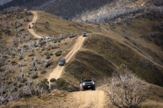
For the price of a Maccas family box, you can whet your appetite in the foothills of the Flinders in the often overlooked Arden Hills Self-Drive 4WD Track. If you are time-poor and can’t make it any further north into the mountains, this park offers spectacular scenery with vistas across to the start of the Ranges and Wilpena Pound. The 4WDing takes full advantage of the frequent changes in elevation as you work your way deeper into the property, with the climbs ranging in difficulty from a casual climb right up to the white knuckled slippery shale offered by the ranges bordering on the western edges. The owners are proud fourth generation sheep graziers Graham and Inge Stokes, who opened their family land for the use of the 4WD community around a decade ago. The 2000-hectare park is situated a mere 20km north of Quorn, less than an hour from the main thoroughfare through Port Augusta. Depending on your already tight schedule, the possibility of a day trip or an easy overnighter are both on the table.
HOW TO GET THERE?
The key can be picked up at the Flinders Ranges Information Centre in Quorn following payment and registration. Turning off the tar and into Warren Gorge marks the start of the adventure. Be sure to keep an eye out for the skittish yellow-footed rock-wallabies that frequent the gorge. Unlocking the gate into an area that would otherwise be off-limits, is an important reminder that we need to treat areas like this with great respect and continue to support parks such as these, lest we lose any more.
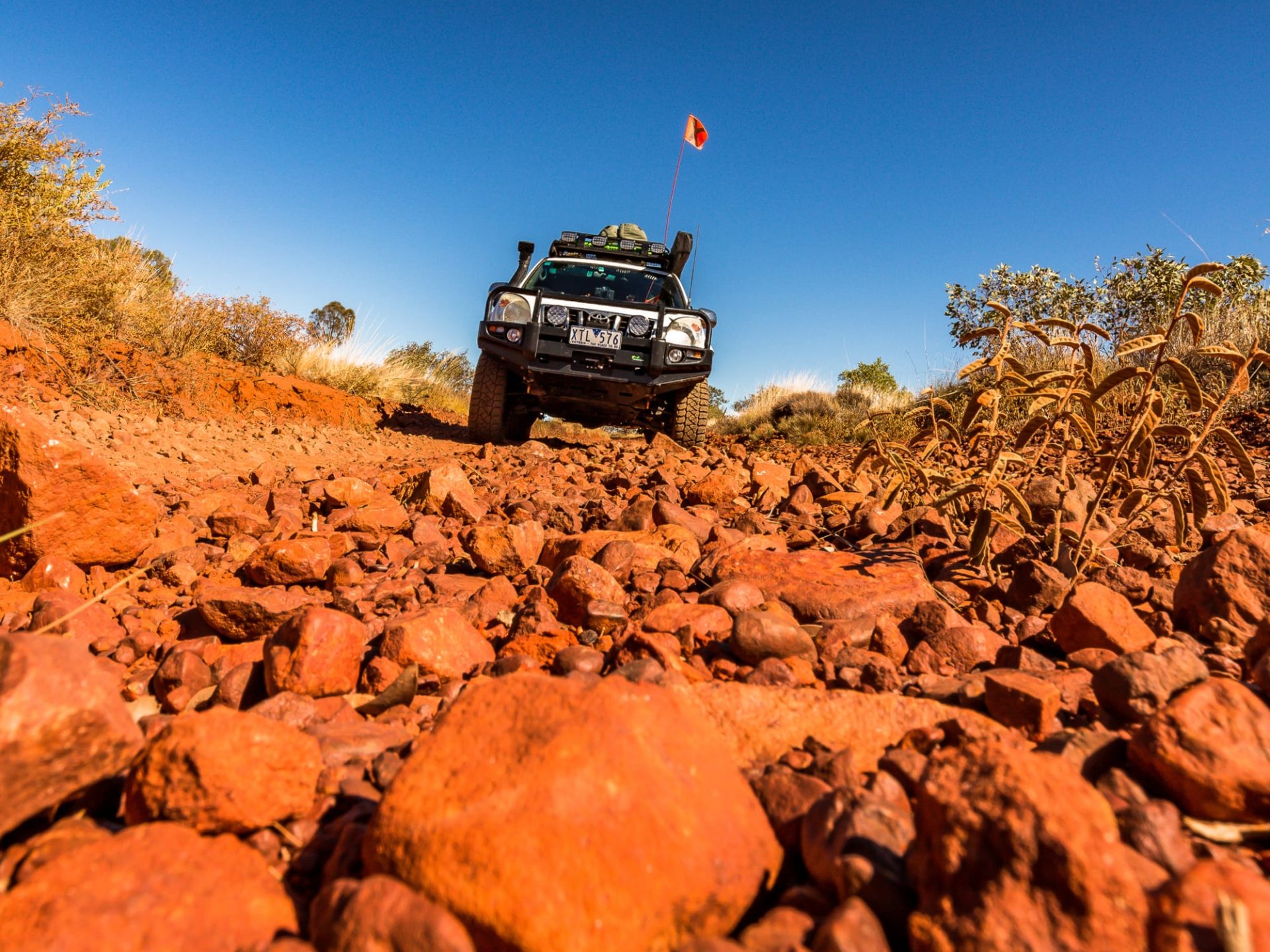
Less than 100m through the gate, you are greeted with the first obstacle among the native pines: several large rocks protruding through the track surface, all too eager to catch out those with poor wheel placement. Careful navigation will lead you further down the track into the first valley, past the towering aged river red gums and towards the next rise, with views of the ‘high country’. Crossing the creek once more, you will find yourself at the base of an imposing climb. Not overly technical, just bloody steep! Stick it in 1st low and crawl up, taking in the sights around you as you ascend to what feels like the same height as the wedge-tailed eagles circling above.
Continuing along the climb, you will come across a small piece of marble next to an established grass tree and a mile marker; a final resting place for a close family friend of the Stokes. The plaque remembers ‘Stretch’ and his love for the area, so much so that one of his final requests was to have his ashes spread around the mountaintop. It goes without saying that you should treat this area with the highest respect but do take a minute to enjoy the area that undoubtedly had such a profound impact on Stretch.
At the next junction, turn right and follow the ridgeline track across several peaks due north before the track swings left and descends towards the creek. This creek offers some of the only shelter in the park with the surrounding hills somewhat blocking the wind, making this an ideal place to set up camp and let the rigs have a rest. We set up camp in the late afternoon, looking forward to a nice fire and camp cooked meal, but mother nature had other ideas. The wind had been steadily picking up all afternoon and had blown quite an ominous band of rain clouds overhead, which soon dumped a few millimetres of ice-cold rain over everything. Wondering what tomorrow’s tracks had in store for us following the downpour, we managed to get the fire going for dinner and began to relax as the stars started to emerge in great numbers.

SEARCHING FOR $1000 HILL
The morning brought a thick fog that hung over the dry creek beds; the vicious riverbank erosion is the only evidence that water flowed through the area in times gone by. We gave up waiting for it to clear and set off to tackle the western edge of the park on the return loop. Climbing once again along the ridgeline, we had to be very particular about our lines and wheel placement as grip was hard to come by following the rain. Following the fence-line (which apparently touts views across to Lake Torrens on a clear day), we soon emerged upon the aptly named $1000 hill. The name comes from the fee supposedly paid to the dozer operators to cut this dangerous section of land into a passable track. By far the largest cutting on the track, this hill and subsequent corner are steep with shaly rocks; there’s little room for error as the drop over the sides is steep and unforgiving. While we completed it without incident, I cannot stress enough the need to proceed with caution as the simplest error or lapse of concentration could lead to a very bad situation.

THE MISTAKE THAT RUINED MY FUEL ECONOMY
It was nearly midday, but the fog was still hanging around, so we had to give the panoramic lookout a miss, and due to other commitments, we had to make our way back along the ridgelines east towards the entrance. There is a southern ring route that branches all the way to the fence-line and traverses quite steep, 4-low terrain with views over towards Wilpena Pound. As we returned towards the creek-lines, the rain had made the final steep descents very slippery and washed out. Here I had a small lapse in concentration and misjudged where I was placing my passenger side. I slowly slid off the rut and landed on my long-range tank, decreasing its capacity by a few litres. As it turns out, I am going to have to come back for two reasons. One, to get up into the heart of the Flinders, and two, so I can complete the final climbs in Arden Hills. This park offers the perfect introductory experience to the Flinders Ranges and deserves more attention from us all as a community. Let’s support those who support us!
DESTINATION DETAILS
Nearest town: Quorn, 40km NE of Port Augusta along the Flinders Ranges Way/B83.
Supplies: Fuel, mechanical services, food and accommodation are all available in Quorn.
Arden Hills emergency contacts: UHF Channel 8 – duplex call 151. For life-threatening situations use 000 or 112 for mobiles without coverage.
Arden Hills information: 2000 hectares of working sheep property to explore. Please stay on formed trails, remove all rubbish and waste. Please observe all relevant fire bans and ensure all fires are extinguished. No trail bikes, chainsaws or dogs.
Best time for travel: Avoid the hotter months as temperatures can reach more than 50°C in full sun. Planning a trip from April to October lets you enjoy the area without the uncomfortable heat and flies.


