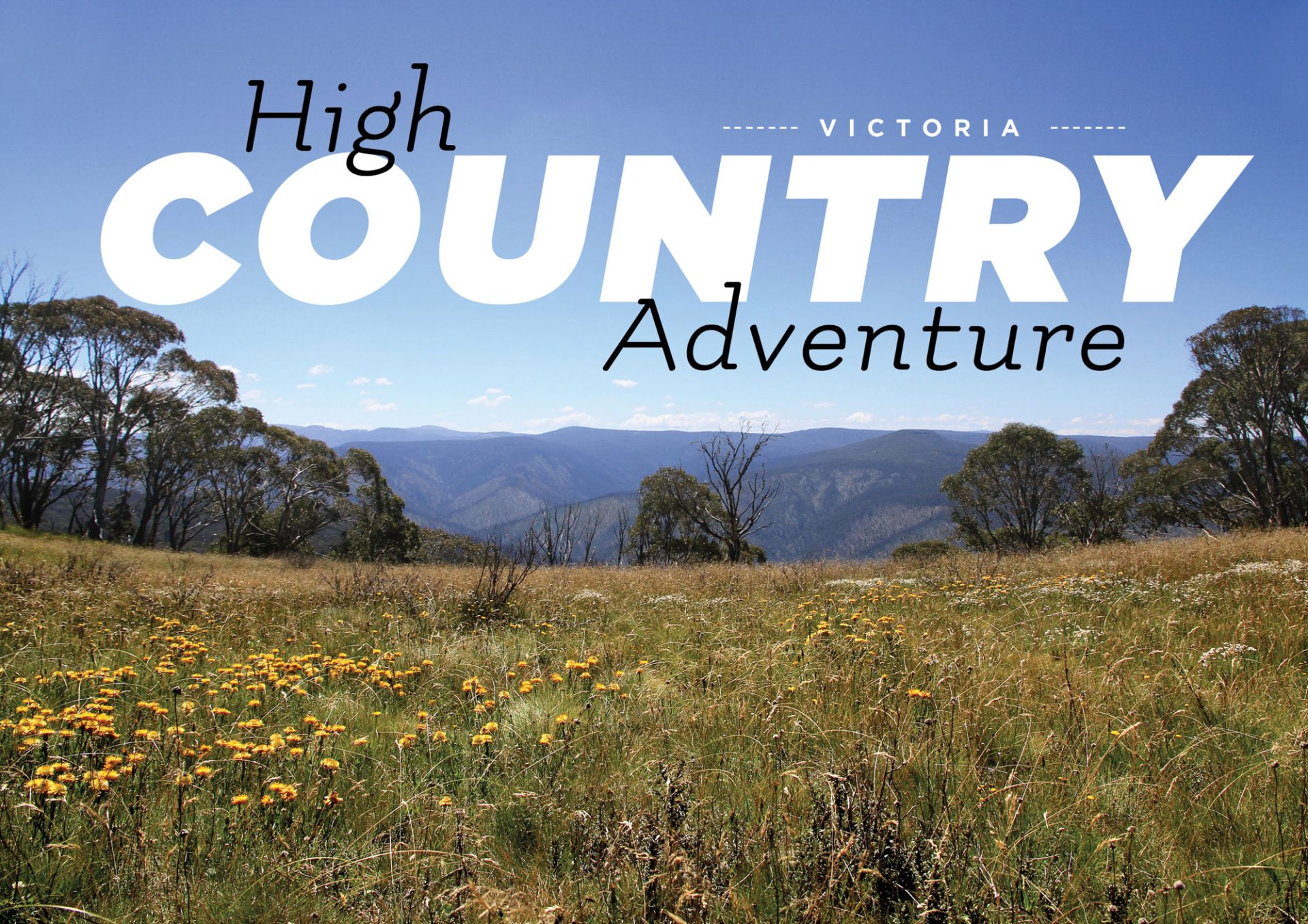
Travel the Dargo High Plains to some of the best campsites in the Victorian High Country, then venture to the roof of the High Country: Blue Rag Trig Point.
The Vic High Country boasts some of the best 4WD tracks and camping anywhere in Australia, and on this trip we ventured along the Dargo High Plains to some great locations. One of the places we visited is a quiet local favourite spot that boasts some of the best riverside camping available in the region.
We kicked off at arguably the hub of the High Country – the fabulous town of Dargo. There is plenty to see here and an opportunity to grab some last-minute supplies, souvenirs or fuel from the general store. A fantastic option is to start the trip with a meal at the legendary Dargo Pub. It provides a great atmosphere and is a terrific place to enjoy a cool beverage and grab a feed, while taking in the various photographs and information on offer inside. Camping is available out the back of the pub or over at the Dargo River Inn if you’re wishing to make a night of it.
We drove up to Grant Junction and the turn-off to Grant and Talbotville. The Grant township is well worth a visit with information boards scatted around the now empty clearing. It once had a population of around 2,000 with hotels, stores, churches, a police station, banks and various dwellings. From Grant, head a further 11km to the old township of Talbotville. This is a well-known and popular camping ground with a large cleared area and some more quiet spots along the Crooked River. There are mining relics to explore, and some cracking tracks in the area to tackle. A great place to be based for a few days… but it does get very busy so it’s best to visit outside holidays and long weekends.
We ventured past the Treasures-Mt Even Hut which is just visible from the main road (with the Downey Road heading off to the right). Keep following the Dargo High Plains Road to the Little Woman’s Grave which is on the right, 25km from Grant Junction. The grave is situated in an open grassy plain right beside the road with plenty of snow gums surrounding it. There is much speculation about the actual occupant of the grave with some historians believing it to be Eliza Gardner, while others believe it could be ‘Mother’ Fraser – the wife of the owner of the wayside store and hotel that was once nearby. She was described as ‘18 stone weight and moustachioed like a dragon’, so she would have been an impressive sight!
A few kilometres further on is Treasure Plain, named after the family synonymous with this area of Victoria. The Treasure family has grazed this area of the High Plains continuously since the 1880s, and still continues to graze cattle adjacent to the surrounding Alpine National Park. The grazing of cattle is a hot topic amongst many interest groups but it seems that cattle are now banished forever from our National Parks. Many believe that controlled grazing reduces the fire risk, but this view has been rejected by the politicians and a big part of our heritage has disappeared.
A short time later we turned right off the Dargo High Plains Road and commenced the journey along King Spur Track. It starts by meandering amongst the snow gums before opening out to spectacular views across to Mt Hotham and Dinner Plain. There are several good camping areas on the cliff edge but at an elevation of 1,500m a cold night is guaranteed and a roaring fire is essential. The track provides a steep descent into the valley. Now it was time to select low range to save the brakes and tackle the several switchbacks, which are a common feature in the High Country.
At the bottom of the descent we were rewarded with the first camping option beside the picturesque Dargo River. The track climbs steeply out of the river and then drops down to another crossing, with another two river crossings before the valley opens up into a picturesque grassy plain. With the bubbling Dargo River, surrounding mountains and wide-open plain this makes a spectacular sight! Be cautious travelling at the beginning of the plain as there are several bog holes that can trap the unwary.
Once on the grassy plain you have reached the locality of Mayford – one of the best places to camp in the Victorian High Country. With ample flat grassy campsites adjacent to the Dargo River, plenty of shade from the majestic gum trees, and the vista of the surrounding mountains, you would be hard-pressed to find a better location to spend a few days. After a quiet relaxing stay at Mayford, it was time to backtrack down the valley and back up to the Dargo High Plains. However we had one more stop – the famous Blue Rag Range and trig point.
The track climbs steeply from the road and then you are presented with the magical view of the track snaking its way along the mountain spurline into the distance, with the trig point just visible in the distance. This is one reason why it’s known as one of the most spectacular tracks in the country – the views and vistas are truly outstanding. Continue along the track to the trig point. At 1,716m this point offers spectacular 360º views across the mountains and valleys. Returning from the trig point you can backtrack to the Dargo High Plains Road, or take the Basalt Knob Track (particularly if you are heading back towards Talbotville and are looking for a challenge).
The Victorian High Country is a large and diverse area that has some of the best camping and 4WDing anywhere in Australia. The Dargo High Plains and the surrounding valleys such as Talbotville and Mayford are classic examples of the region and should be on every four-wheel driver’s list to visit.
DESTINATION DETAILS
WHERE: This trip is along the Dargo High Plains and down into several of the adjacent valleys, then up onto the iconic Blue Rag Range.
CONTACTS AND INFORMATION:
Department of Environment, Land Water and Planning (DELWP)
delwp.vic.gov.au
136 186
Parks Victoria
parks.vic.gov.au
131 963
Dargo Hotel
dargohotel.com
03 5140 1231
CAMPING: Talbotville is a fantastic camping place with a large grassy area boasting fire pits and a pit toilet. There are also a number of quieter campsites along the Crooked River.
There are numerous great camping options north of Dargo along the river, with pit toilets and fire rings.
Mayford has several camping areas along the Dargo River within the valley. No facilities.
Dargo has camping available at the rear of the hotel and at the Dargo River Inn for a small fee.
WHAT TO TAKE: Some basic supplies can be purchased from the general store at Dargo, but it would be prudent to stock up at one of the major centres on the way – such as Traralgon or Sale.
Take sufficient food for the planned duration of your trip, and drinking water if you’re worried about drinking from the usually pure mountain streams adjacent to the campsites.
Basic equipment, spares and recovery equipment should also be carried. A chainsaw is a good item to have for firewood and clearing any fallen trees from the tracks.
Mobile phone coverage is generally available but alternative comms (such as a satellite phone) is a good option.
TRIP STANDARD: Once you hit Talbotville all the tracks require a high-clearance 4WD, with a range of standards to choose from.
The King Spur Track down into Mayford is rocky with some clay sections that could be difficult in wet conditions.
The track up to Blue Rag is steep with low range needed, but recent track repairs have made it much easier.
Both tracks will require good all-terrain or mud tyres.
MAPS AND GUIDES:
Rooftop Maps – Dargo/Wonnangatta map
HEMA High Country Map
RESTRICTIONS AND PERMITS: No permits are required to travel in this area. Many tracks in the Alpine National Park are subject to seasonal closure, including the King Spur and Blue Rag Range tracks.
Check the Parks Victoria Website or contact the local DELWP office (Heyfield).
LOCAL ATTRACTIONS: The Dargo River is a renowned trout-fishing watercourse, so make sure you bring your fishing gear.
During the summer months, swimming is popular in the river and there are some great deep holes close to the camping areas.
There are plenty of photography opportunities with spectacular views across the mountains, rivers and gorges. The view from the top of Blue Rag Range is one of the best in the country.
There’s a host of 4WD tracks in the area, so the driving is fantastic.
Visiting the various historical sites in the region is a great activity too… especially if you are armed with some good maps and publications describing the history.
BEST TIME TO TRAVEL: December to April (opening times of the King Spur Track).
TIME OF TRIP: March.

