South-east of Tennant Creek in what appears to be a sea of red sand and low mulga is a 4WD Mecca with one of the best campsites in central Australia.
For images and the full Unsealed 4X4 experience, CLICK HERE.
In a previous article I described how to avoid the boring bitumen run north of Alice Springs by following the Binns Track off the Plenty Highway 20 kilometres east of Harts Range. This included an overnight camp at the beautiful Tower Rock. That article brought you back to the Binns Track at Mac’s old truck – and this is where we take up the story. Track conditions will of course depend greatly on recent weather events; but unless rain has fallen (which is rare out here) you will find a mostly wide red scratch through low mulga. There are occasional open patches with yellow grasses and the odd tree-lined dry creek – a notable one being Corella Creek.
About 40 kilometres from the old truck you will be perplexed by the signage. A Binns Track signpost to the left leads seemingly straight into some low trees and thick grasses. The track ahead (while it has reduced in size, to just a couple of vehicle widths across) seems like the more appropriate route; but it isn’t. It would seem that the owners of Derry Downs were not too pleased about the tourist traffic following the Binns Track driving right past their front door – can’t blame them for that – so they bulldozed a rough bypass track around the Station.
For those of us following what was a good, easy Outback road it may come as a bit of a shock to find you now need low-range and are virtually scrub bashing along a very rough, rock-strewn trail. I’m sure many travellers have wondered if they have taken the correct turn. Your Hema Navigator does show this detour, and you will see that it does go out west for a short distance and crosses a dry creek before meandering back east to join a relatively better road – now heading north of Derry Downs. This little deviation, while only a few kilometres in length, will take at least 30 minutes to complete.
North of Derry Downs I have found the road either wide and well graded or narrow with lots of vegetation growing on what was the road shoulder. It all depends how soon after the grader has passed; and out here that could be as long as two years. It is 50 kilometres from Derry Downs to the Sandover Highway. Along the way you pass a couple of Aboriginal communities and, whilst you won’t see them as they are off the main road, your phone will certainly tell you that you are passing as it springs to life downloading your latest messages. The road also definitely improves beyond these communities, and there is a nice lunch spot or morning tea break just past a dry creek bed.
On reaching the Sandover Highway you need to turn right and drive north-east for another 28 kilometres to a point where once more the Binns Track is signposted to the left (just near Ammaroo Station). Like the Sandover Highway, the Murray Downs Road (as it is known) is a wide red earth road. If travelling with friends you may need to keep quite some distance apart due to the billowing clouds of red dust that will rise behind each vehicle. There is more short-lived phone service just north of Ammaroo as you pass the community of Ampilatwatja.
It is a long 100 kilometres now of very isolated Outback driving as you make your way north before sighting yet another Binns Track signpost. This one is to your right and is accompanied by a sign to Davenport Range National Park. But you’re still a good two hours away, so don’t get too excited yet. However it’s fair to say that the 4WD adventure begins now.
The terrain changes almost as soon as you make that right turn. Instead of relatively flat country hemmed in by mulga trees you are now in low rolling hills.
Of course the road meanders around the hills – crossing dry, rocky creeks at varying intervals. The mulga trees are sparser too; giving you a good view across the stony landscape. Quite a pleasant drive.
This track leads to the old mining town of Hatchers Creek where you will see ruins of the past mining off to your left. There is no entry into the rusting mining equipment, so keep your distance. Track conditions up to this point will vary greatly from season to season … but let me assure you that you will be glad you are in a four-wheel drive as you will encounter numerous rocky sections, some deep bulldust and even the occasional water crossing (depending on the severity of the previous wet season). After passing Hatchers Creek you are still on grazing land and will even pass a small outstation off to your right … possibly the first human activity you have seen for some time. I’ve also seen quite a few feral donkeys along here.
The next intersection is that of the Frew River 4WD Track. Now don’t be tempted to venture straight into this trail before making camp at Old Police Station Waterhole. It may be just 17 kilometres long and appear (on the map) to be a direct route to Old Police Station Waterhole, BUT this is a rough track that even the guide maps describe as one of the toughest 4WD tracks in the Territory. And it’s not suitable for 4WD trailers. So keep going straight ahead past the Frew River Track. Follow the good unsealed road for another 20 kilometres until you see the turn-off on your left towards Old Police Station Waterhole.
The track now is narrow and slower going, but still two-wheel drive. Make sure you stop and pick up some firewood along here. In fact, once you enter the National Park there is a sign advising you to collect firewood; and then shortly after that, as you near the camping area, there’s another sign advising ‘no firewood collection’. On arriving at the banks of the waterhole there is a self-registration area with a small fee for the privilege. In return for this outlay you are rewarded with an idyllic camp beside a permanently filled waterhole which is about 400 metres long, with level campsites scattered along its northern bank. Some sites even enjoy shade from the large trees that crowd along the water’s edge. A short 100-metre walk away there is a long-drop dunny, too.
Two or three days camping here is magic. There are plenty of yabbies to be netted in the waterhole. You can take a walk around the waterhole and find the ruins of the actual police station on the opposite side of the camping area. And you can generally enjoy the peaceful surrounds that are only disturbed by the frequent squawks of the Corellas. I spent a lot of time watching numerous small green budgies nesting in the hollows of the trees above our camp.
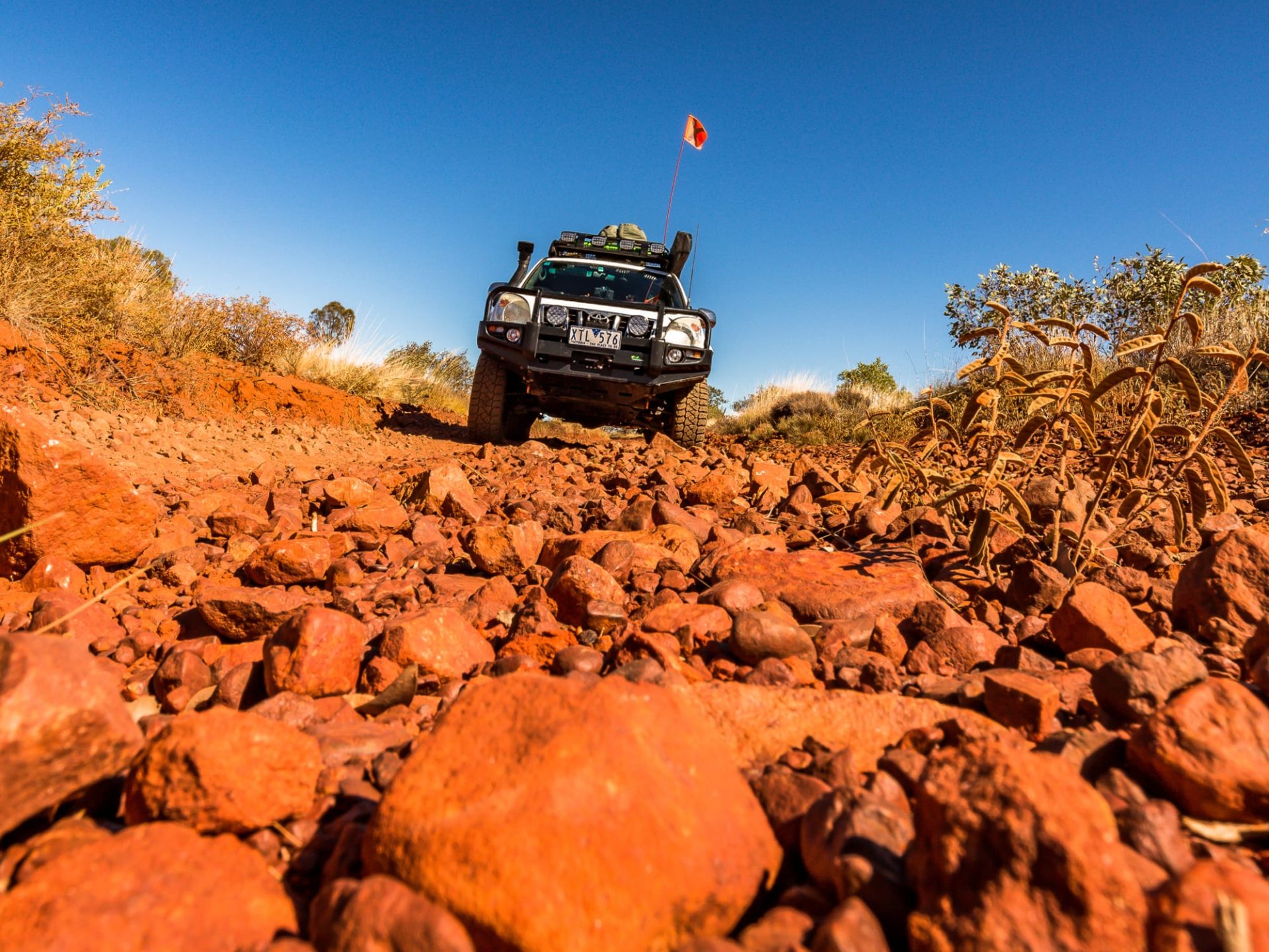
Of course the challenge of the Frew River 4WD Track is beckoning. The entrance is found just 600 metres back up the road from the campsite. The 17 kilometres will take all of two hours to complete, as the track consists of a lot of rock. There are several inclines with large rough rocks that make up the track surface. Low-range and plenty of ground clearance will be essential; and make sure you drop your tyre pressures right down to about 25psi to avoid tyre damage.
After a few days here it will be time to continue your journey back out to the Stuart Highway. It is 150 kilometres distance, all on unsealed road of varying quality. Initially (after leaving the Old Police Station turn-off) the track can be heavy in bulldust and you will see that the locals have created bypass tracks around the deeper sections.
On the way out you will pass another turn-off to the second camping area in the Davenport Range National Park: Whistle Duck Creek. It is 24 kilometres of narrow track across sparsely vegetated plains before you arrive at the small waterhole. Whistle Duck Creek has ‘individual’ styled campsites (no good for a group) and the usual self-registration info board and long-drop toilet. The water in this waterhole can get a bit stagnant at the end of the dry, but early in the season this too is a great camping area.
Once you hit the Stuart Highway you are back on the sealed road and vying for road space with the road trains and Grey Nomads. Before driving north into Tennant Creek, head south for 18 kilometres to see the amazing and popular Devil’s Marbles. In Tennant Creek there’s a couple of caravan parks and a few motels. Make sure you do the mine tour on the hill overlooking town … and say hello to my old mate Narelle (she is a real Outback character in her own right).
FACT FILE
Region:
Davenport Range National Park is about 150 kilometres south-east of Tennant Creek. It is part of the Binns Track in central Northern Territory.
Nearest towns:
Tennant Creek and Wauchope on the Stuart Highway.
Accommodation and camping options:
There is no accommodation along the course of this trek. The best camping is at Old Police Station Waterhole and Whistle Duck Creek. Small fees apply and long-drop toilets and fireplaces are provided. No bookings are necessary.
Best time to go:
May to September; too hot at other times.
What to take:
If following the Binns Track from Alice Springs, once you leave Alice Springs there are no food re-supply points until you reach Tennant Creek (which could be a week later, depending on how much time you allow yourself). Fuel too can be scarce, with the last fuel stop at Gemtree; and you need to allow at least 850 kilometres of Outback touring range including some low-range 4WD in the Davenport Ranges on the Frew River 4WD Track.
4X4 Rating:
OK for true off-road trailers. I rate it as moderate not because of its difficulty but more due to its remoteness. It would be advisable to be a little self-reliant from a mechanical viewpoint. The Frew River 4WD Track is difficult due to its rocky nature (it is not suitable for trailers).
Permits:
None needed. No firewood collection close to the camping areas in the National Park; but there is plenty of firewood around outside of the non-collection locations.
Contacts:
Tennant Creek Ranger Station – 08 8962 4599
Battery Hill Mining and Visitor Centre – 08 8962 1298
https://northernterritory.com/
Tennant Creek Caravan Park – 08 8962 2325
Outback Caravan Park – 08 8962 2459
Maps: HEMA Central Australia and Northern Territory maps. The HEMA HN7 navigator was also used.


